photo-gallery:
© by Victor Mercator, Graz University of Technology, 1999-2026
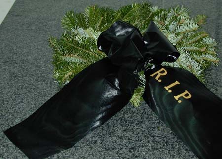
Kranzniederlegung
im Messlabor des Institutes für Angewandte Geodäsie, TU Graz,
Oktober 1999
Teilnehmer:
V. Kaufmann, W. Klostius, U. Fastner, W. Krämer, R. Kostka, A.
Reithofer und B. Mölg
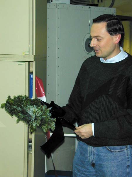
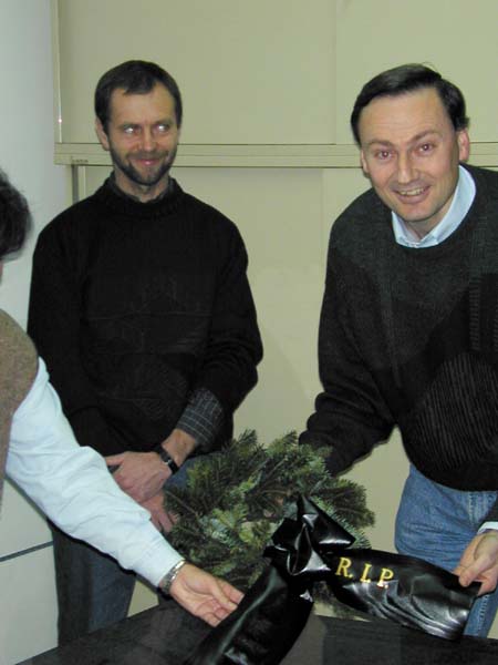
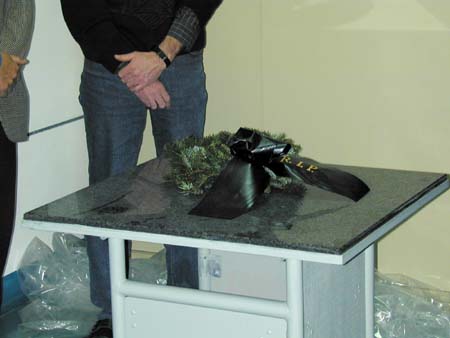
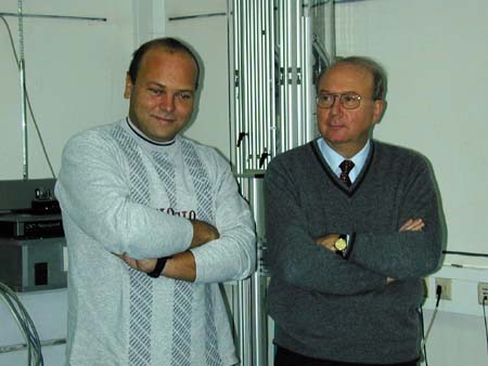
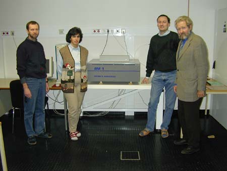
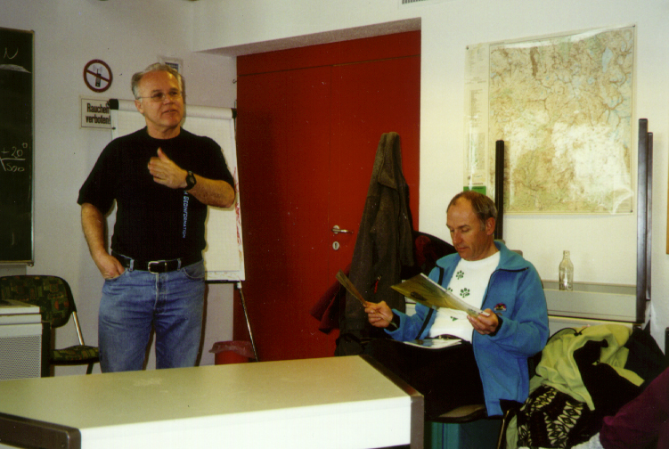
Im Oktober 1999 wurde der
Präzisions-Bildscanner Rastermaster 1 der Abteilung für
Photogrammetrie und Fernerkundung
vom Messlabor (Photos 1-5) in seine
neue Heimstätte (Photo 6) übersiedelt.
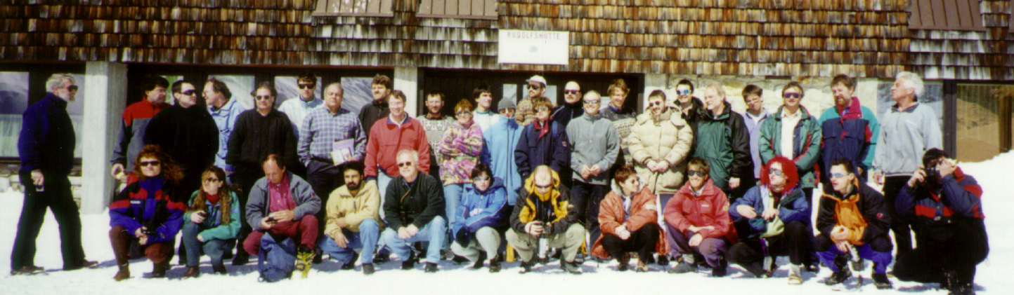
International
ICA Workshop on HIGH MOUNTAIN CARTOGRAPHY 2000
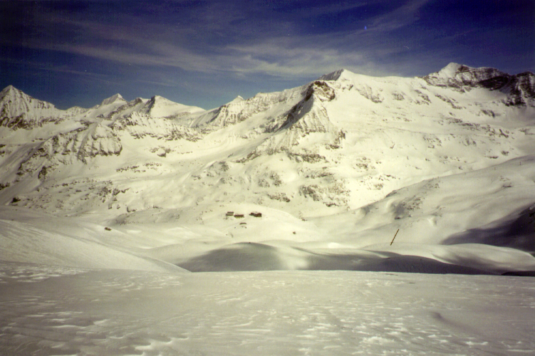
Alpine Centre Rudolfshütte, Grossglockner-Granatspitz Massif,
Austria
29 March - 2 April 2000
Commission on Mountain Cartography of the International
Cartographic Association (ICA)
Commission on High Mountain Cartography of the German Society of
Cartography (DGfK)
Organiser:
Professor Manfred
Buchroithner, Institute of Cartography, Dresden University
of Technology
Host:
Professor Heinz
Slupetzky, High Mountain Research Station Rudolfshütte of
the Department of Geography and Geoinformation, University of
Salzburg
21.
Internationaler Ingenieurvermessungskurs, Technische Universität
Graz, Campus Neue Technik, Hörsaal P2, 10.-13. Februar 2026
Foto 1: Viktor Kaufmann begrüßt vor seinem Poster
seinen Kollegen Peter Bauer (VRVis),
12.02.2026
Foto 2: Viktor Kaufmann bei der Postervorstellung im HS P2,
12.02.2026
Foto 3: Viktor Kaufmann mit Begleitung beim Konferenzdinner in der
Alten Universität Graz,
12.02.2026, Foto: (c) Helmut
Lunghammer
last update: february 23, 2026