")
[Abstract]
© by Viktor Kaufmann, Graz University of Technology, 2026
| |
Reconstruction and
visualization of the retreat of two small cirque
glaciers in the Austrian Alps since 1850
[Abstract] |
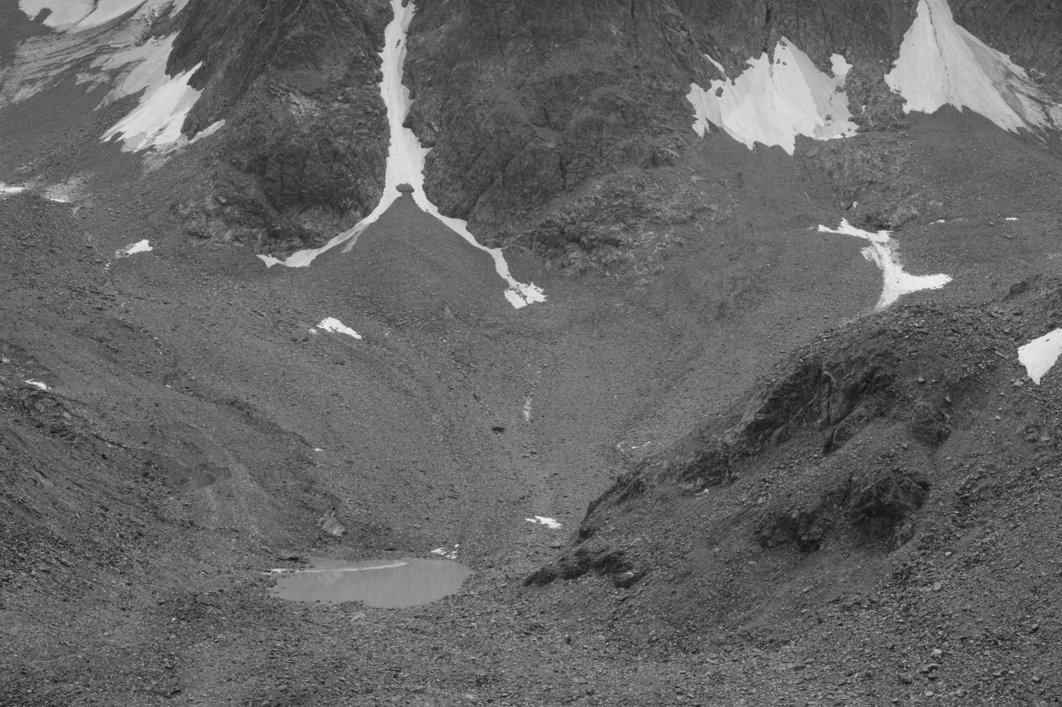
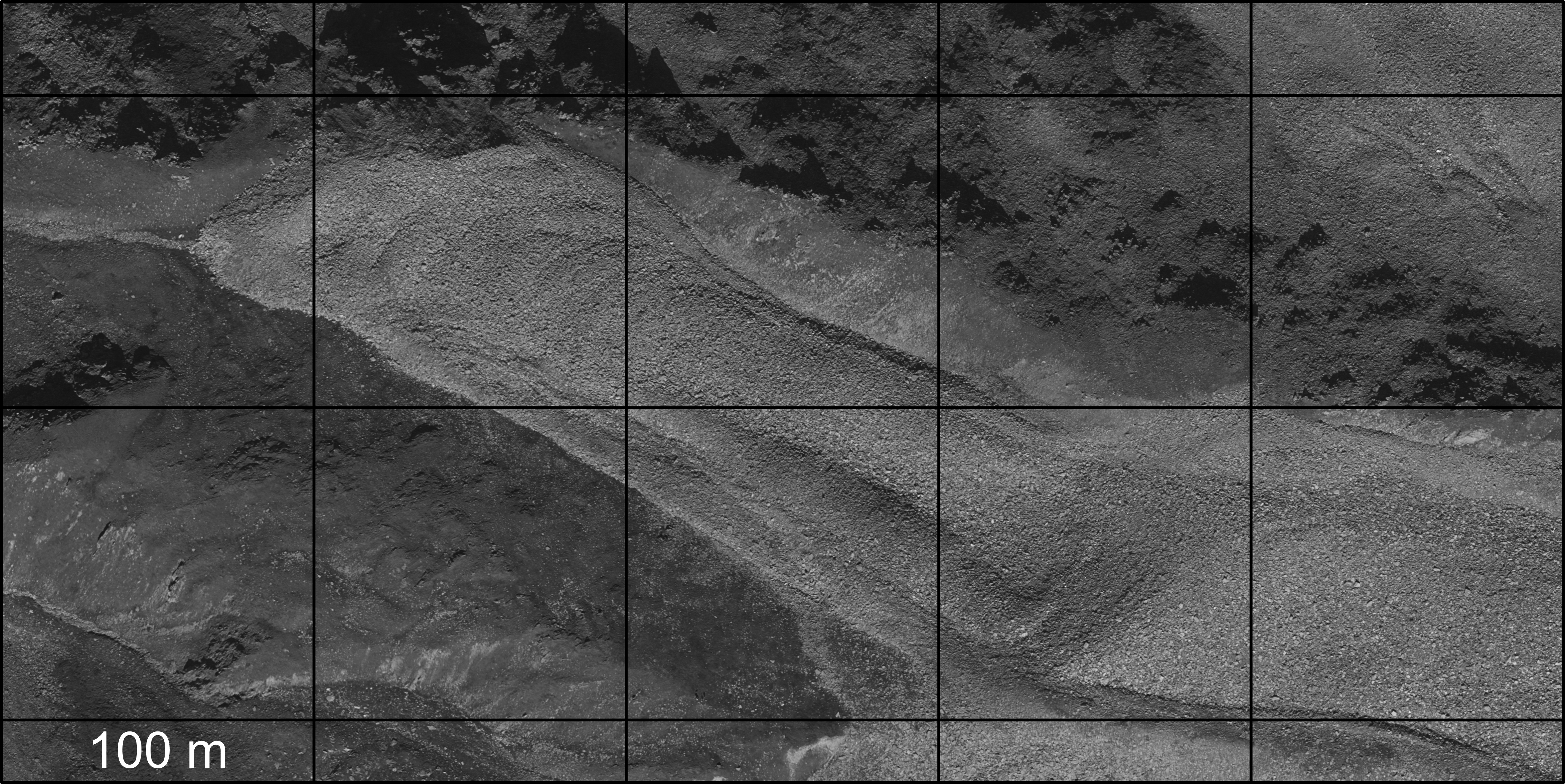
Visualization of surface height change and movement at Goessnitzkees (Goessnitz glacier) (animated GIFs)
2008 - 2009 2009 - 2010 2008 - 2009 - 2010 Terrestrial view of 22.8.2008 |
 terrestrial view of 22.8.2009 |
 terrestrial view of 20.8.2010 |
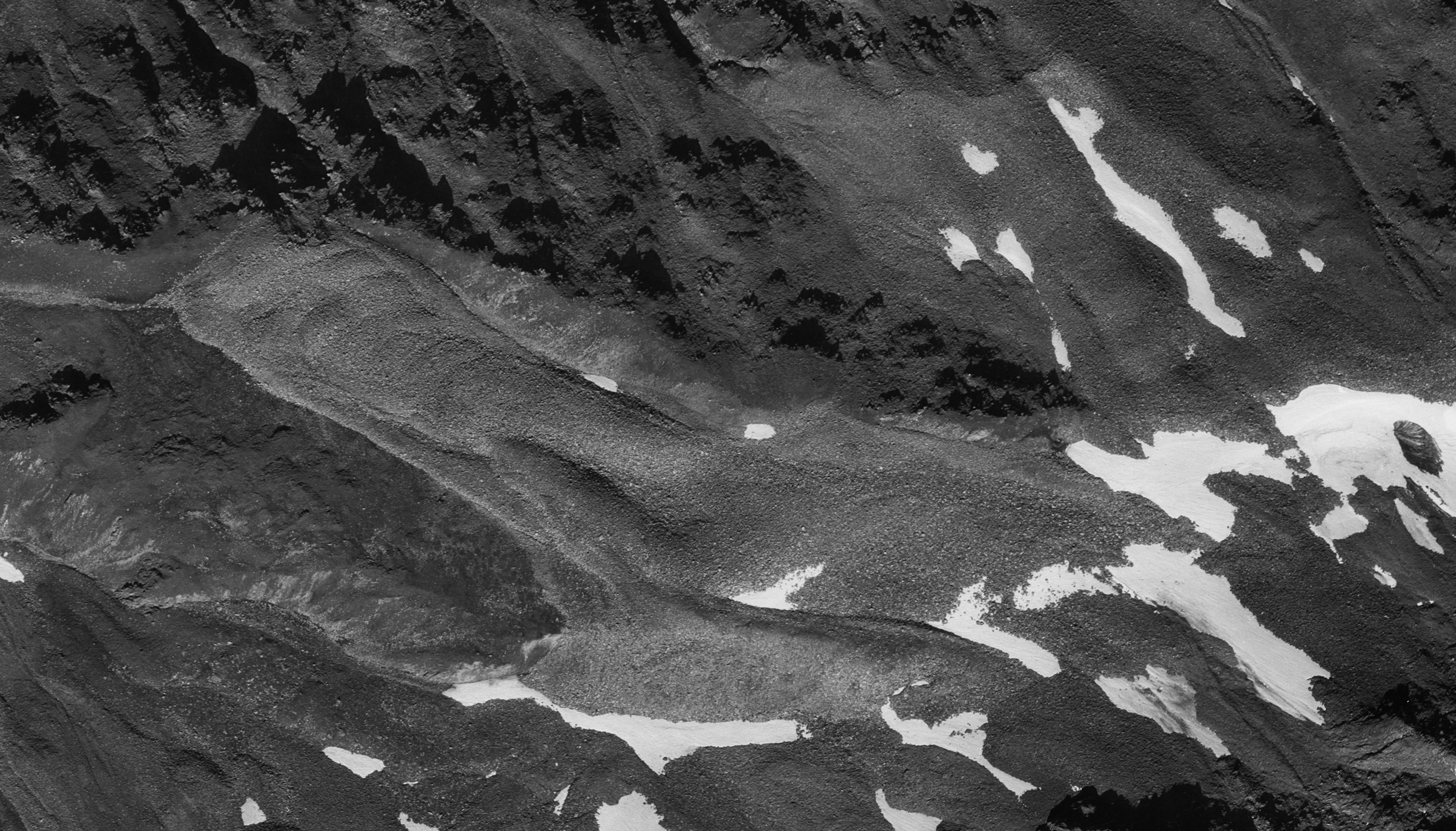
 Terrestrial view of 7.9.1988 |
terrestrial view of 20.8.2010 |
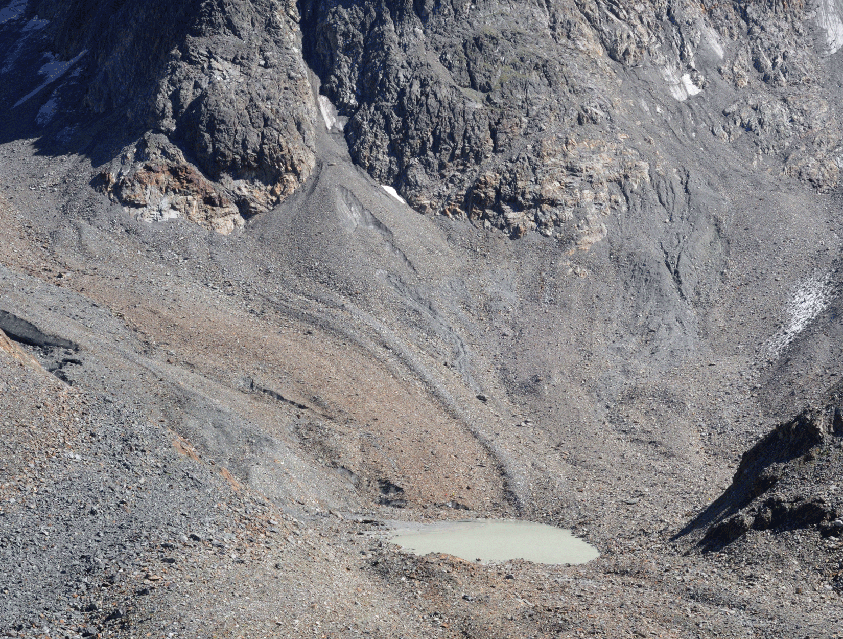 Terrestrial view of 17.8.2012 |
terrestrial view of 21.8.2015 |
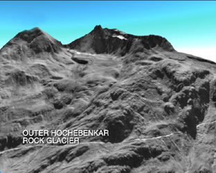 |
Spatio-temporal
analysis of the dynamic behaviour of the Hochebenkar
rock glaciers (Oetztal Alps, Austria) by means of
digital photogrammetric methods [Abstract] |
Sequence 1
(video clip, MPEG, 4280 KB, 23 sec.): Hochebenkar rock glaciers
(1997) - round flight
Sequence 2
(video clip, MPEG, 3878 KB, 21 sec.): Outer Hochebenkar rock
glacier (1997) - bird's-eye view
Sequence 3
(video clip, MPEG, 7359 KB, 40 sec.): Inner Hochebenkar rock
glacier (1997) - birds's-eye view
Sequence 4
(video clip, Quick Time Movie, 515 KB): Hochebenkar rock
glaciers (1997)
(MPEG sequences with sound)
The complete video film (MPEG, 56 MB, 5 min. 06 sec.) can be
provided on CD-ROM ( order
now ).
Also a video tape is available for sale ( order now ).
Check YouTube
for downloading the complete
video film.
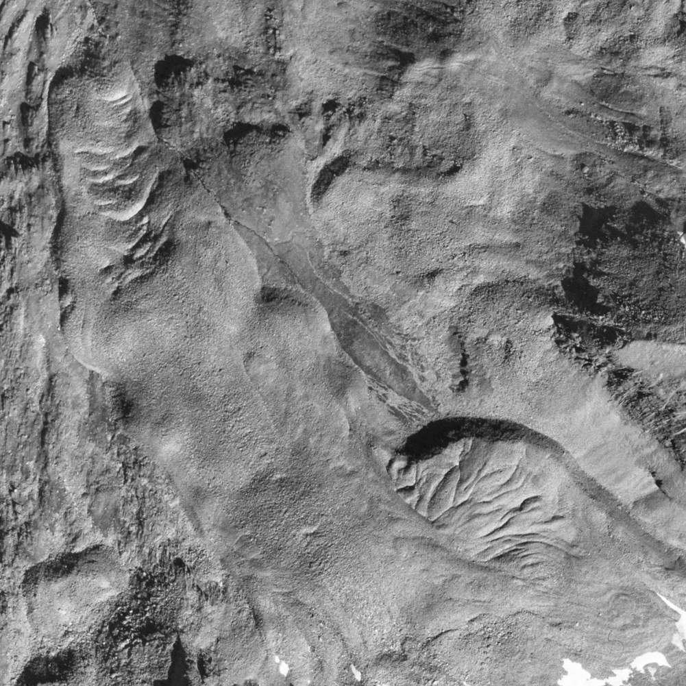
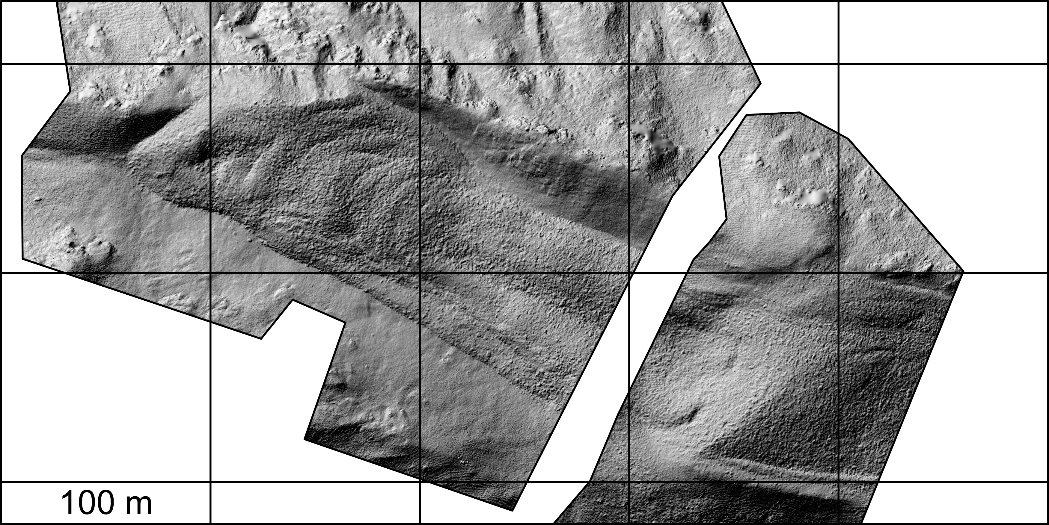
Movement of the tongue of the Outer Hochebenkar rock glacier (animated GIF)
1986 - 2003 1986 - 1999 1999 - 2003 986 - 1999 - 2003 Terrestrial view of 23.9.1986 |
 terrestrial view of 9.9.1999 |
 terrestrial view of 19.9.2003 |
 terrestrial view of 19.9.2003 |
© by Richard Ladstädter & Viktor Kaufmann, Graz University
of Technology, 2004
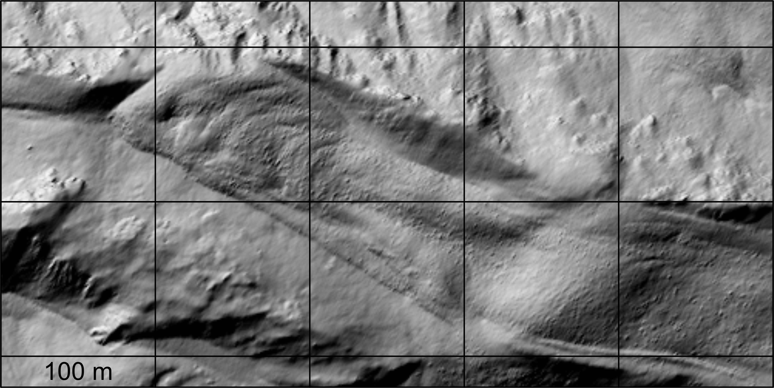
 Terrestrial view of 23.9.1986 |

terrestrial view of 9.9.1999 |

terrestrial view of 19.9.2003 |

terrestrial view of 10.8.2008 |
Movement of the Outer Hochebenkar
rock glacier (animated GIF)
1997 - 2003
 |
 |
 |
 |
 |
|
 |
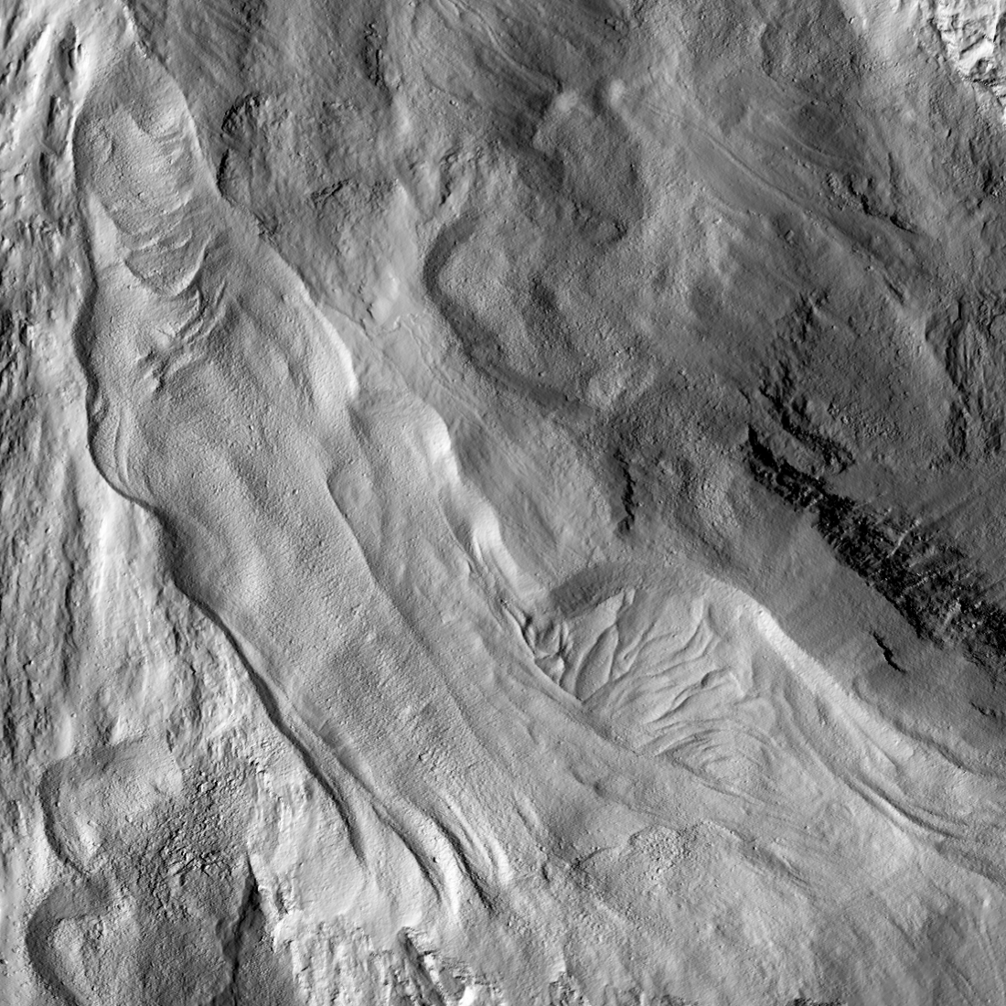
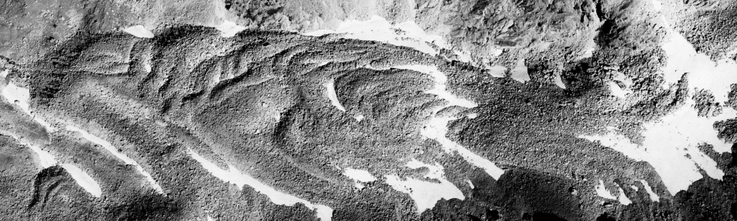
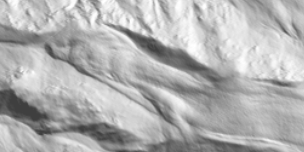
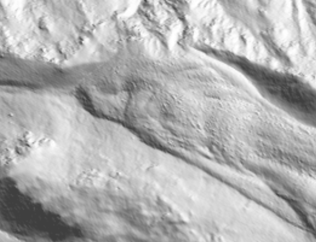
Hinteres Langtalkar rock glacier
|
Documentation of the
movement of the Hinteres Langtalkar rock glacier [Abstract] |
|
Morphometric
documentation and computer-based visualization of slope
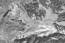
deformation and slope creep of the Blaubach landslide
(Salzburg, Austria) [ Abstract ] [ Paper ] [ PPT ] |
© by Viktor Kaufmann, Graz University of Technology, 2004
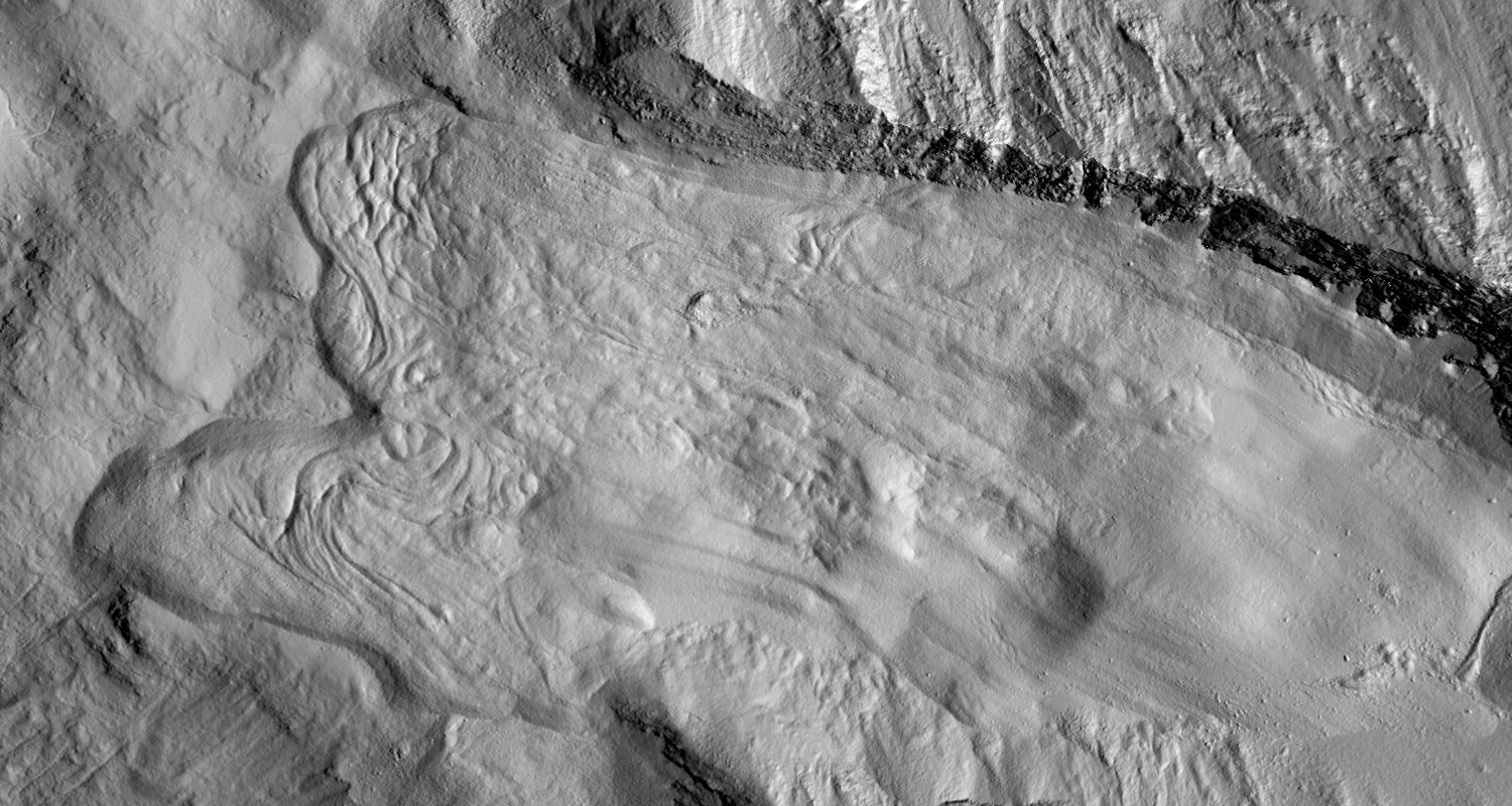
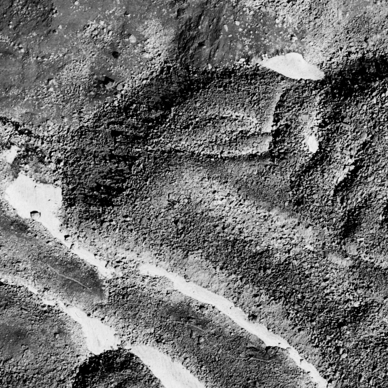
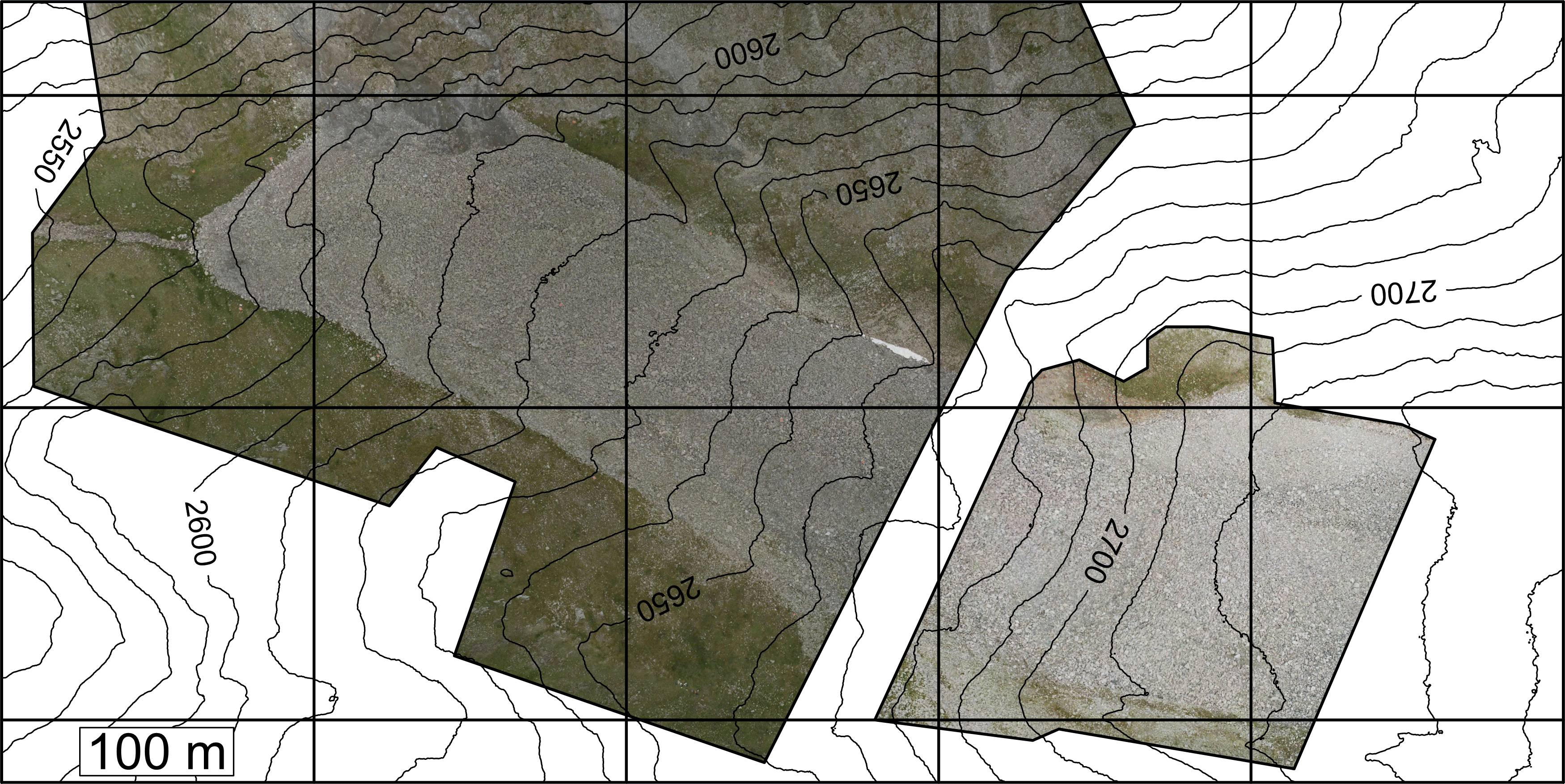
Dösen
rock glacier
Download
orthophoto map (1.2 MB). Orthophoto map 1:10,000 "Inneres
Dösener Tal, Ankogelgruppe"
 |
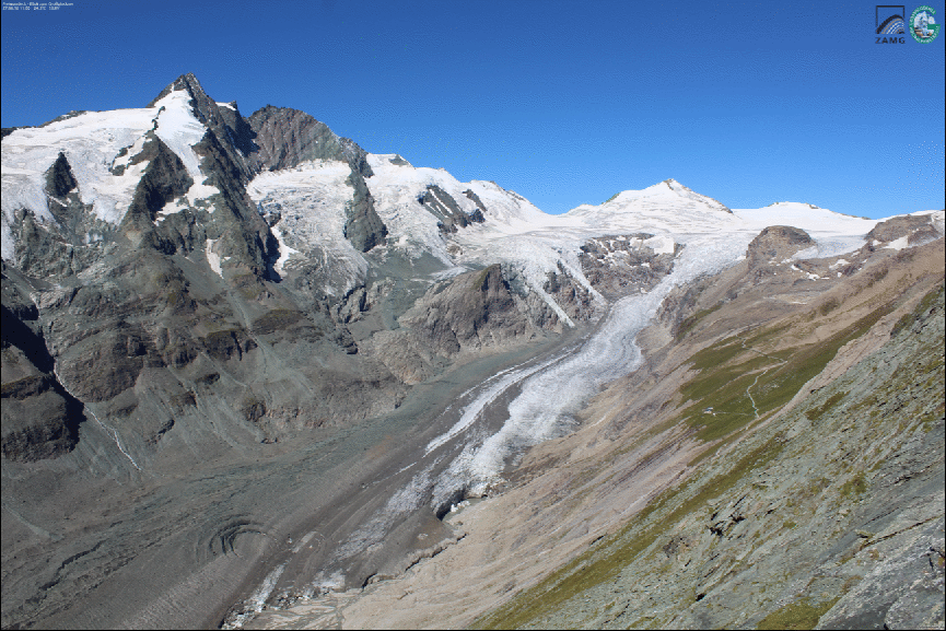
10 years
of monitoring of the Doesen rock glacier (Ankogel group,
Austria) - A review of the research activities for the
time period 1995-2005 [ Abstract ] [ Paper ] |
Download animated
GIF (4.3 MB)
 |
 1969-1998 |
 1998-2010 |
 1969-1998-2010 |
 1954-1969-1975-1993-1997-2013-2019-2022 |
 2013-2019-2022 |
| Aerial photographs © BEV, Vienna |
© by Viktor Kaufmann, Graz University of Technology, 2026
 |
Detection
and measurement of highly active rock glaciers using
mulit-temporal high-resolution orthophotos of virtual
globes, such as Google Maps and Microsoft Virtual
Earth/Bing Maps [Abstract] [Paper] |
 |
Movement of Leibnitzkopf rock glacier (animated GIFs)
 |
 |
 |
 |
 |
 |
 |
 |
 |
 |
Movement of Tschadinhorn rock glacier (animated GIFs)
 |
 |
 |
 |
 |
 |
 |
 |
last update: april 16, 2026