
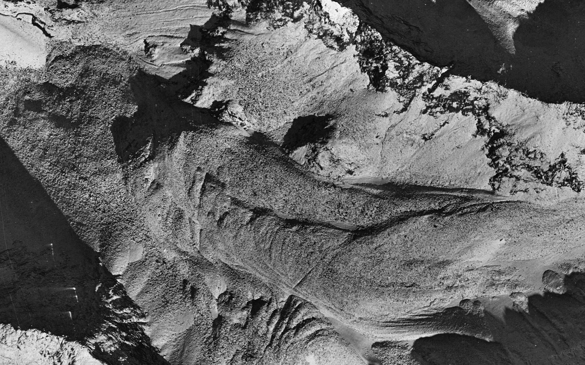
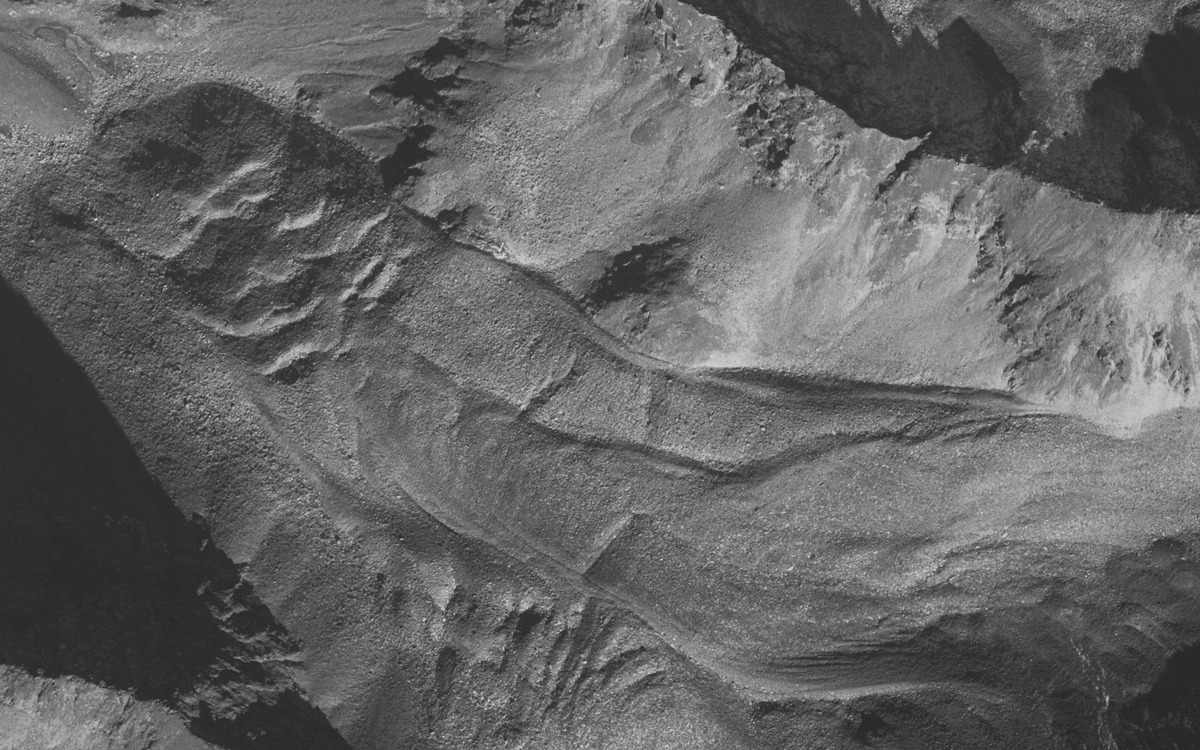
The Hinteres Langtalkar rock glacier (12°45'56" E, 46°58'53" N) is located in the Schober group of the Hohe Tauern range within the boundaries of the Austrian Hohe Tauern National Park. The rock glacier is situated in the Hinteres Langtal cirque. The foot of the front slope is located at 2460 m a.s.l. The northern lobe of the rock glacier is 850 m long and 200 m wide. This highly active part of the rock glacier is in contrast to the rather inactive southern, smaller part of the rock glacier. The latter is characterized by a sequence of adjacent ridges and furrows, which typically relates to compressive flow. At the rooting zone of both parts of the rock glacier marked depressions are present. Further information about the geographical setting and results of geological and hydrological investigations can be found in Lieb (1987) and Krainer & Mostler (2001), respectively. The Hinteres Langtalkar rock glacier is very interesting from a geomorphological point of view, since the lower end of the rock glacier tongue has moved into steeper terrain. A sliding process has started as early as 1992, as the strength of the ice/rock mixture could no longer resist gravitational forces. This phenomenon was identified for the first time in aerial photographs of 1997.